
Hanoi’s Red River plan identifies first projects for investment
Hanoi’s November 3 plan sets out land use and infrastructure for roughly 11,400 hectares along the Red River. Initial projects include a riverside scenic boulevard, a public park and resettlement areas, with other urban facilities to follow.

Hanoi’s city government issued Decision No. 6075/QĐ-UBND on November 3, 2026, specifying land use, development targets and phased investment projects for the Red River urban planning area. The first phase prioritizes a scenic boulevard on both banks, a public park in Phú Thượng Ward, an urban reception area, and resettlement areas in Lĩnh Nam and Long Biên. The remaining projects will be implemented in later phases.
The planning study covers approximately 11,418 hectares and projects a population of 800,000 to 1.2 million. Of this, approximately 6,594 hectares is urban development land, including 683 hectares for public services, 2,476 hectares of public green space, 1,197 hectares for transport and 2,236 hectares for residential units. The plan also requires at least 45 square meters of urban development land and 12 square meters of public green space per person, with transport land accounting for at least 13%.
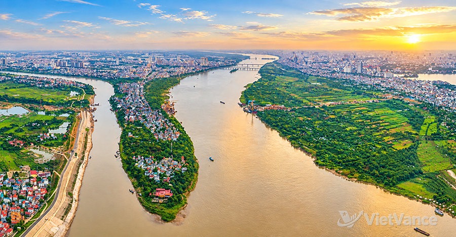
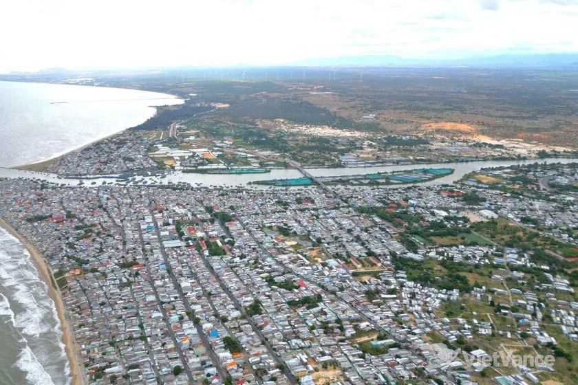
A river confluence along the Red River, photographed on September 13, 2026.(VietVance)
The riverside area is divided into three sections: from Hồng Hà Bridge to Thăng Long Bridge, the focus is on ecological conservation, existing villages and low density development; from Thăng Long Bridge to Thanh Trì Bridge, the plan provides for cultural, commercial, international finance, tourism and innovation activities; and from Thanh Trì Bridge to Mễ Sở Bridge, it calls for urban parks, ecological recreation areas, cargo and passenger ports, and tourist boat terminals. Roads, railways, waterways, water supply and drainage, and electricity infrastructure are also included in the plan.
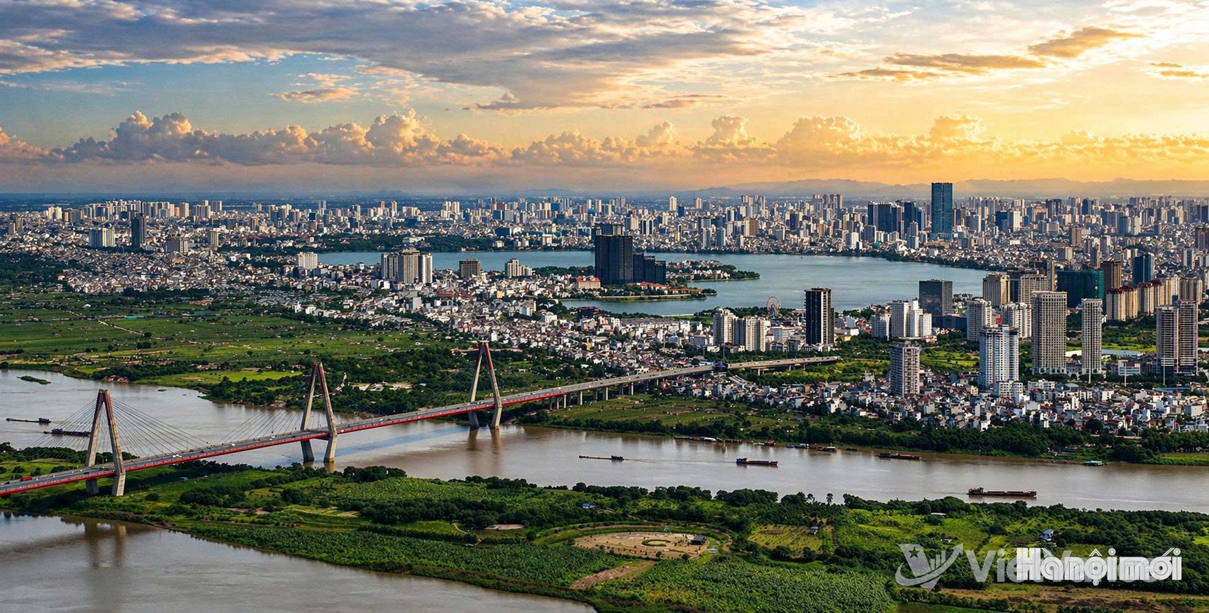
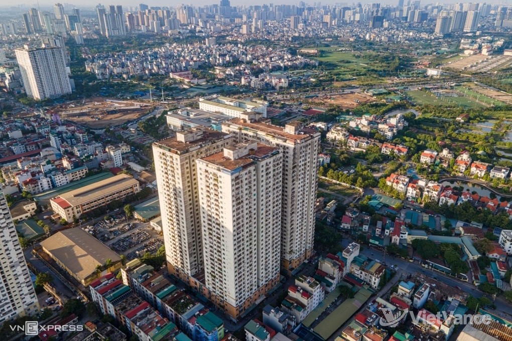
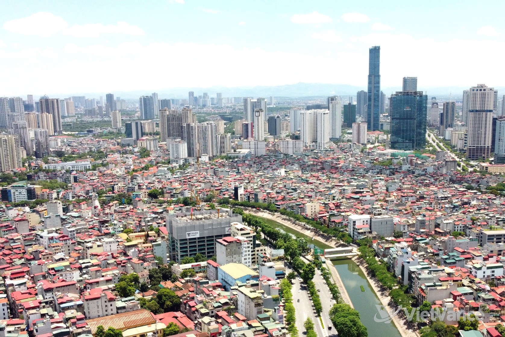
The Red River corridor is planned as an area that will increase Hanoi’s urban green space.(VietVance)
Urban planning expert Tô Anh Tuấn said the first priority for the Red River corridor should be flood drainage, with nature conservation, agriculture, parks and sports activities arranged according to ground elevation. Trần Minh Tùng said converting some riverside areas into parks would help preserve flood drainage capacity while meeting residents’ need for public space. These are expert views; specific projects remain subject to the approved plan and subsequent implementation arrangements.
Source: VietVance