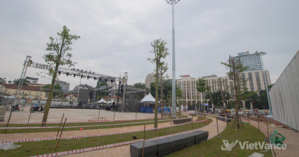

Hanoi’s Red River Plan Identifies Areas for Relocation and Redevelopment
Hanoi has approved changes to its Red River urban zoning plan, covering about 11,400 hectares and a projected population of 800,000 to 1.2 million. Areas slated for relocation and redevelopment include those that cannot safely accommodate flood discharge, those affected by road and infrastructure construction, and designated development centers along the river. Precise boundaries will be determined in later planning stages.

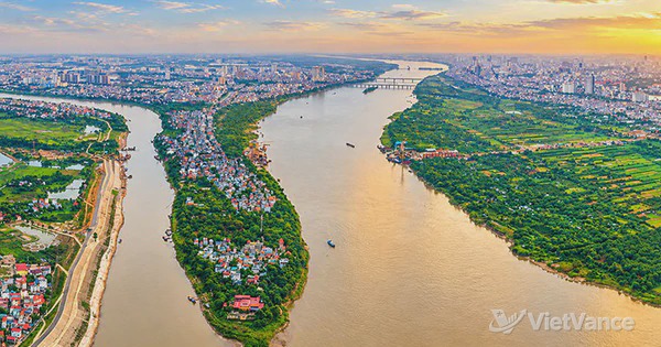
On November 3, 2026, Hanoi approved revisions to the Red River urban zoning plan, covering the stretch from Hồng Hà Bridge to Mễ Sở Bridge. The planning study covers approximately 11,418 hectares across 16 wards and communes, with a projected population of 800,000 to 1.2 million. The plan is at a scale of 1:5,000.
The plan divides riverside areas into three categories: areas to be retained and improved subject to conditions; areas requiring partial relocation for flood control or infrastructure; and areas designated for relocation and redevelopment. The last category includes places where safe flood discharge cannot be ensured, areas affected by the construction of a landscaped boulevard, transport junctions and other infrastructure, and areas designated as development centers along the Red River. It also includes areas within Ring Road II along the stretch from Nhật Tân Bridge to Vĩnh Tuy Bridge, as well as other residential areas specified in the plan.
Riverside land uses will vary by distance from the river: floodable spaces will be placed nearest the bank, followed by partially floodable areas, parks, green spaces and squares. Areas less prone to flooding are planned for tourism services and removable low-rise buildings, while areas near the dike will accommodate commercial, office, residential, healthcare and educational uses. For traditional villages and craft villages of value, the plan prioritizes protecting their core areas and improving infrastructure.
The plan also provides for resettlement and multipurpose urban development projects in Lĩnh Nam, Long Biên and Bồ Đề wards and Bát Tràng commune. During later implementation stages, Hanoi will review improvement or relocation proposals area by area. The location, boundaries, size and land-use indicators of each plot must be determined in detailed plans at a scale of 1:500 and in investment projects, based on topographic, geological and hydrological surveys and land management records.
Source: VietVance