
Hanoi Approves Comprehensive Revision of Red River Urban Zoning Plan
Hanoi has approved a comprehensive revision of its Red River urban zoning plan, covering about 11,418.96 hectares across 16 wards and communes, with a projected population of 800,000 to 1.2 million. The plan prioritizes flood safety, ecological protection and transport links, with initial projects including riverside boulevards, parks and resettlement areas.

Hanoi People's Committee Chairman Vũ Đại Thắng signed Decision No. 6075 approving a comprehensive revision of the Red River urban zoning plan at a scale of 1:5,000, covering the stretch from Hồng Hà Bridge to Mễ Sở Bridge. The decision takes effect from the date of signing and replaces Decision No. 1045, which approved the original plan on February 25, 2022.
The planning study area covers about 11,418.96 hectares across 16 wards and communes in Hanoi, with a projected population of 800,000 to 1.2 million. The upper end of that projection is used to calculate land needs for urban development and the capacity of infrastructure. The actual population will depend on whether flood prevention, flood conveyance and dike safety requirements are approved by the competent authorities.
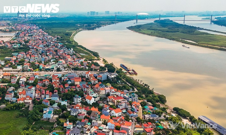
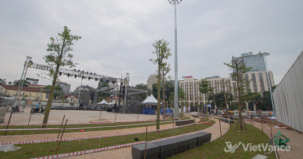
The study area for the comprehensive revision of the Red River urban zoning plan covers 16 wards and communes in Hanoi.(VietVance)
The revised plan prioritizes flood safety, ecological protection and transport connections. Riverside areas are to be arranged in layers according to their distance from the riverbank and flood risk: areas nearest the river will remain floodable; parks and green spaces will occupy areas subject to partial flooding; and areas near the dikes are planned for commercial, service, office and residential uses, as well as public facilities. Existing residential areas outside the dikes will be classified according to local conditions and subject to conditional improvements, partial relocation or urban redevelopment.
The planned corridor is divided into three sections, focusing respectively on ecological landscapes and low density development; mixed commercial, cultural and financial services; and parks and port related functions. The first phase is set to advance riverside boulevards on both banks, public parks, urban public spaces, resettlement areas and land clearance projects. The remaining projects are planned for later phases.
Source: VietVance